Routes on the map
· 4 хв. читання


Hi, Everybody!
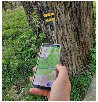
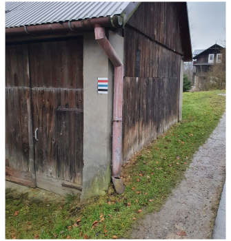
There are thousands of official and nonofficial routes which symbols (marks) you can see in cities, forests and etc. All these routes are routes for your activities. Many of them exist in OpenStreetMap and you can see them online here for example.