OsmAnd 4.4.5 (iOS)

Hello, everyone!
We are pleased to announce the release of a new version of OsmAnd for iOS.
What's new
- Added widget "Elevation: map center".
- Added widgets "Track recording".
- Added new "Train" profile.
- External keyboard: added support for new keys.
- Added option to disable announcing for deviation from the route.
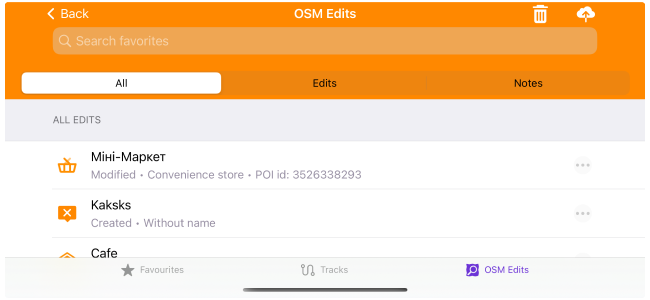
- Added search for Favorites, Tracks, and OSM Edits.
- CarPlay: history includes points that were used in navigation.
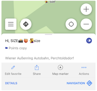
- Emoji can now be used as favorites or waypoint name.
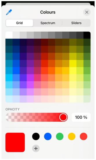
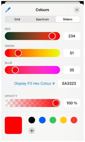
- Track appearance: added ability to set any custom color.
- Bugs fixs:
- Fixed issues with the import of custom routing and rendering files.
- Fixed transition between offline Wikipedia articles.
The previous release notes for OsmAnd 4.4 you can read here.
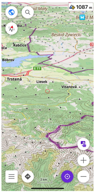
Elevation: map center
With Elevation Widget you can find out the elevation above sea level of the current map center.
You need to subscribe OsmAnd Pro and download Heightmaps of the desired area.
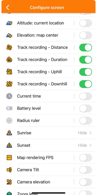
Put on "Elevation: map center widget" on the screen: Menu → Configure screen → Right panel → Elevation: map center
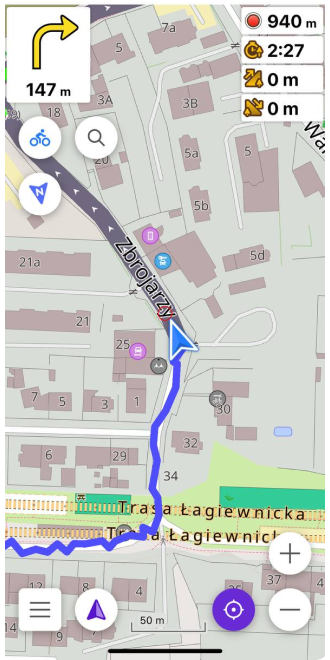
New Track recording widgets
Added new trip recording widgets to Track recording - Distance:
Track recording - Duration, Uphill, Downhill
Menu → Configure screen → Right panel → Track recording
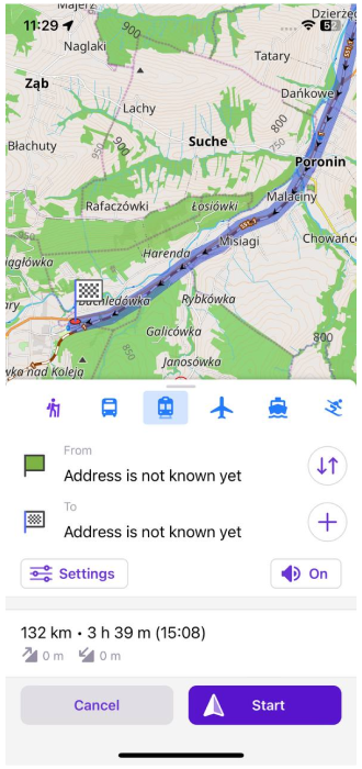
Train profile
Added the new base Train profile. Enable it by:
Menu → Settings → App Profiles (Train) → Enable
After than you can make routing by using train roads.
External keyboard updates
We added more buttons for External keyboards:
Menu → Settings → App Profile → General settings → External input devices → Generic Keyboard.
- Zoom in, bind to two keys,
+and=. (- make '=' equals '+') - Bind
Escto back (to close Context menu and Modal views) - Bind
Nto open Navigation view - Bind
Sto open Search view - Bind
Pto switch to the next app profile. Show toast like message App profile: Name. - Bind
Oto switch to the previous app profile.
Disable announcing
Added option to disable announcing for deviation from the route:
OsmAnd Menu → Settings → App profile → Navigation settings → Vioce prompts → Other (Announce deviation from the route)
Search updates
Added the search line for My Places menu: Favorites, Tracks, OSM Edits
Added allowing to use Emoji in user points name.
CarPlay updates
Added the option for CarPlay: history includes points that were used in navigation.
Emoji for names
Added allowing to use Emoji in user points name.
Custom color for tracks
Added extended palette for coloring GPX tracks, Favorites and Waypoints.
Bugs fixs
- Fixed issues with the import of custom routing and rendering files.
- Fixed transition between offline Wikipedia articles.