Planning a Day on the Water with Nautical Maps


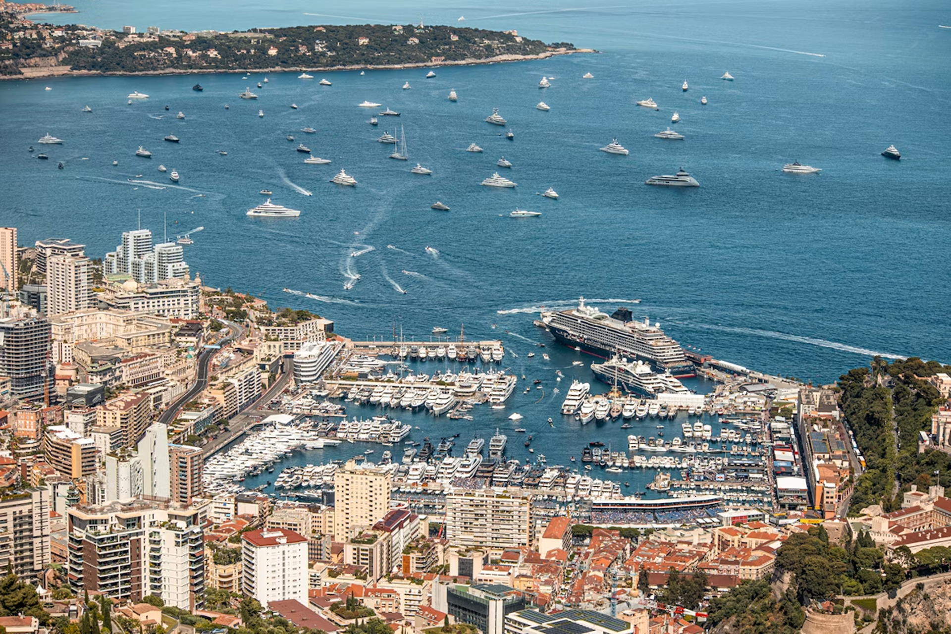
Some trips exist first as an idea. You open a map, find a coastline, and start building something in your head — a route, a few stops, maybe a harbor where you'd want to spend the evening. A principality of your own, even if just for a week. Principality of Monaco takes that idea literally. In summer the water gets crowded quickly — and what looks like open space from the shore has its own logic underneath. Shallow patches, restricted zones, boats coming and going from every direction. You don't notice any of it until you're already in the middle of it.
A regular map won't tell you any of that. Roads, buildings, points of interest — useful on land, but the moment you're moving on water, the map needs to change completely.
This is what OsmAnd's Nautical Map View is for. Depth data, seabed information, navigation lights, buoys, fairways — the kind of detail that turns a general-purpose app into something you can actually use on the water. Whether you're planning a route along the Côte d'Azur or just trying to find a safe place to anchor for the night, it starts with a different kind of map.