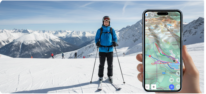
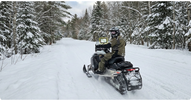
4 posts tagged with "map"

View All Tags

Β· 6 min read
Eugene

Hello everybody!

In the OsmAnd 4.5 release, a new terrain map type has been added. This is a new data type in our application, which is needed for terrain rendering, and for some additional functions related to elevations. All the information is in our documentation, but in this article, we will describe how and what you can see and get on the screen with a new data type.

β˜› Let's go!

Β· 2 min read
Eugene

Hello everybody!

This article is about one of the general OsmAnd killer-feature - Online maps plugin. This Plugin allows us to enable and add other map sources for OsmAnd. All of these sources are raster maps.

Raster maps come from various sources and they complement OpenStreetMap data, and sometimes they are the only source. By combining map layers, you can get the best picture on your screen:

  • Android
  • iOS

Β· 2 min read
Eugene

Hello everybody!

In this article, we want to show you how OsmAnd users create their own map styles.

OsmAnd map styles​

At first about Map styles by default.

OsmAnd contains own 10 map rendring styles: OsmAnd, Touring view, UniRS and LightRS, Nautical, Winter and ski, Topo, OSM-carto, Desert, Offroad, Snowmobile.

Android version: Menu β†’ Configure map β†’ Map rendering β†’ Map style

iOS version: Menu β†’ Configure map β†’ Styles for offline maps

OsmAnd Map styles

Β· 2 min read
Tatiana

Please welcome new OsmAnd Topo map style. If you are a hiker or a cyclist spending much time in the countryside, you are likely to appreciate the new style. It is designed to make your trips as convenient as possible while enjoying the nature. Let&s get to the details.