11 posts tagged with "marketing"

View all tags

From Map Data to 3D Buildings in OsmAnd

· 7 min read
Tina
Technical writer
Eugene
Marketing lead

In films like Angels & Demons, Rome never feels flat. The city unfolds through narrow streets, archways, inner courtyards, and massive stone buildings rising above the crowd. You remember not only where the characters go, but the space around them — the height of the facades, the passages through buildings, the way entire streets disappear beneath arches before opening into another square.

But on most digital maps, cities lose that depth. Buildings become flat shapes, reduced to outlines that show where something exists, but not how the city actually feels. For mappers, this is where building data starts to matter.

In OpenStreetMap, buildings can contain far more than a simple outline. Mappers can describe a building's height, the number of floors, where different sections begin, and even passages running through the structure. OsmAnd uses this data to transform flat map geometry into detailed 3D cityscapes. Buildings gain height, complex structures become distinguishable, and streets start to feel closer to the real places they represent.

Castel Sant Angelo

Explore the Night Sky with OsmAnd Astronomy

· 7 min read
Tina
Technical writer
Eugene
Marketing lead

Far from city lights, the sky looks different. In the Namib Desert, darkness comes quickly and the stars appear all at once, filling the entire horizon. At first, it feels simple. A guide points to a few constellations, maybe a bright planet. You follow along, recognising some shapes. But after a moment, you lose track. There are more stars than you expected, and it is hard to tell them apart.

This is where OsmAnd Astronomy changes the experience. Instead of guessing, you can explore the sky the same way you explore a map — step by step, with clear orientation, useful context, and the ability to plan what to look for next.

Namib Desert

Survey Insights 2026

· 7 min read
Eugene
Marketing lead

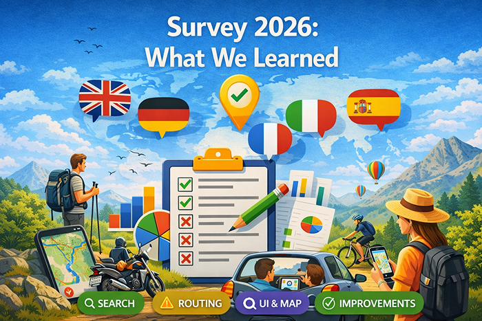
In the first half of March, we ran a survey to better understand how people use OsmAnd and what they expect from it. At OsmAnd, we often talk about offline maps, route planning, and outdoor navigation. But the most important question is simpler: how do people actually use OsmAnd, and what do they need from it?

To explore that, we collected feedback across five language groups: English, German, French, Italian, and Spanish.

The results gave us a clear picture. Users value OsmAnd for its depth, flexibility, and offline capabilities — especially in situations where reliability and preparation matter. At the same time, the survey highlighted areas where the app still creates friction, particularly around usability, search, and routing confidence.

This post shares some of the main themes that appeared across all five surveys.
Survey Results

Discover Patagonia with OsmAnd Web Explore

· 6 min read
Eugene
Marketing lead

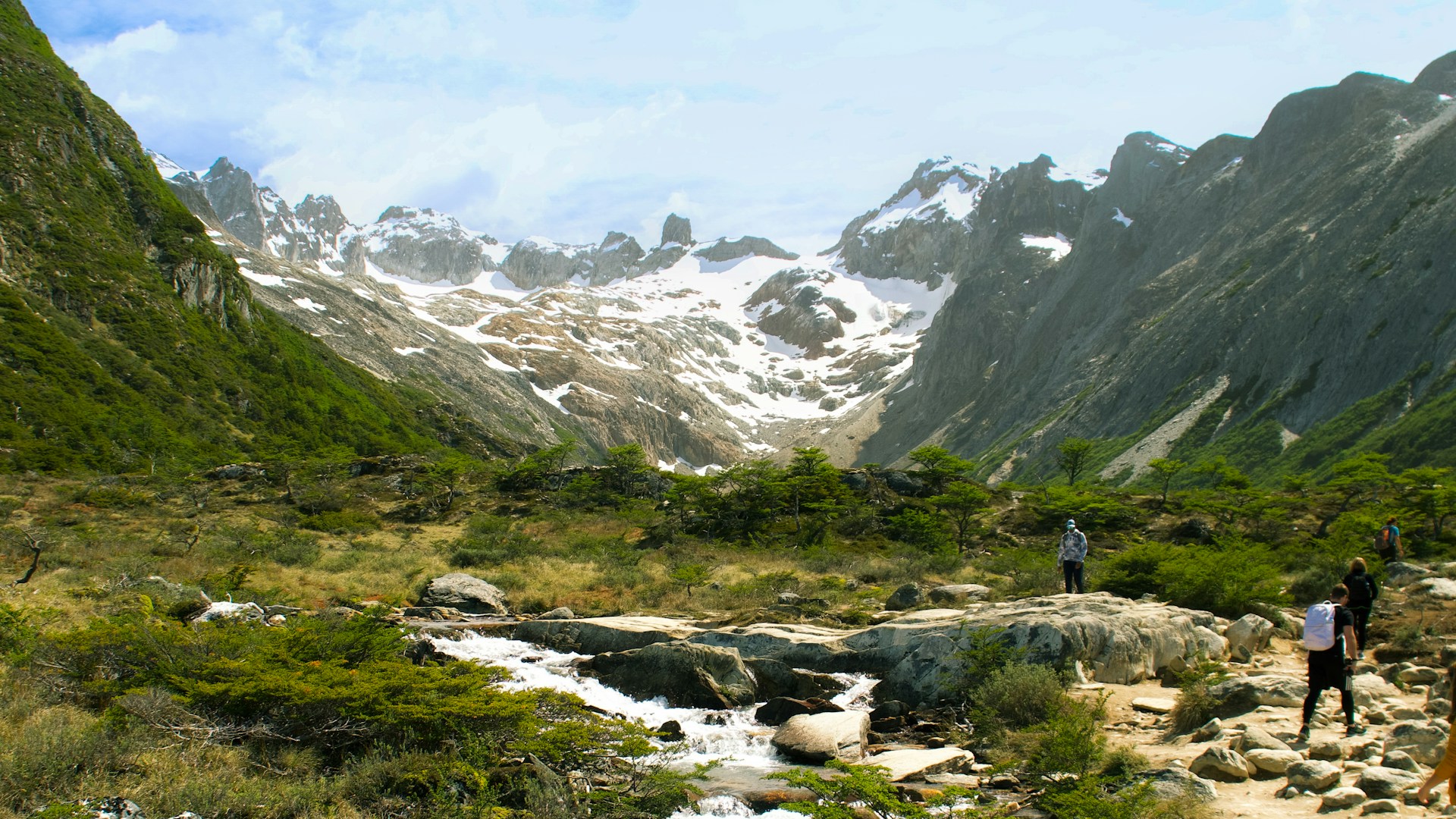
In classic adventure stories, traveling through remote regions meant you had to rely on maps, luck, and intuition. Patagonia — famously portrayed in "In Search of the Castaways" — was once a place of uncertainty and long, unpredictable routes. Today, exploring Patagonia can look very different with OsmAnd Web Explore. Modern tools make it easy to discover key places, explore what’s nearby, and plan routes across one of the world’s most spectacular regions.

Patagonia

Enjoy Winter Adventures

· 3 min read
Eugene
Marketing lead

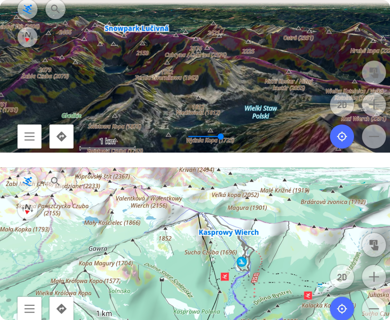
Ready to hit the slopes? OsmAnd’s Skiing profile makes winter navigation effortless, whether you're carving alpine runs, exploring backcountry trails, or riding lifts. Winter sports enthusiasts will love how detailed piste data brings the mountain to your fingertips.

ski

Snowmobile Mode - Find & Follow Winter Routes

· 3 min read
Eugene
Marketing lead

Explore Winter Trails with OsmAnd’s Snowmobile Mode

When the landscape turns white and roads become snowy paths, OsmAnd is your perfect winter riding companion.

With the dedicated Snowmobile map style, you can easily identify official routes right on the map. Trails mapped as route=snowmobile in OpenStreetMap appear clearly, distinct from standard roads. Snowmobile map legend is here. Because OsmAnd works completely offline, you can rely on guidance even in backcountry areas with zero network coverage.

Just tap on a visible trail on the map to follow the track and start your adventure.

OsmAnd Snowmobile Map Style showing winter trails

OsmAnd Promo for Tripltek devices

· 6 min read
Eugene
Marketing lead

Hello Adventurers!

In today's digital age, outdoor enthusiasts, adventurers as myself, and professionals rely heavily on navigation tools to traverse unfamiliar terrain safely and efficiently. With the rise of smartphones and tablets, navigation apps have become indispensable companions for outdoor activities. Among these, OsmAnd stands out as a powerful navigation app, offering robust features tailored for outdoor exploration. When paired with TRIPLTEK rugged tablets, users can experience unparalleled navigation capabilities even in the harshest environments.

OsmAnd offroad

Terrain maps

· 7 min read
Eugene
Marketing lead

Hello everybody!

In the OsmAnd 4.5 release, a new terrain map type has been added. This is a new data type in our application, which is needed for terrain rendering, and for some additional functions related to elevations. All the information is in our documentation, but in this article, we will describe how and what you can see and get on the screen with a new data type.

☛ Let's go!

Raster maps

· 3 min read
Eugene
Marketing lead

Hello everybody!

This article is about one of the general OsmAnd killer-feature - Online maps plugin. This Plugin allows us to enable and add other map sources for OsmAnd. All of these sources are raster maps.

Raster maps come from various sources and they complement OpenStreetMap data, and sometimes they are the only source. By combining map layers, you can get the best picture on your screen:

  • Android
  • iOS